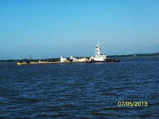
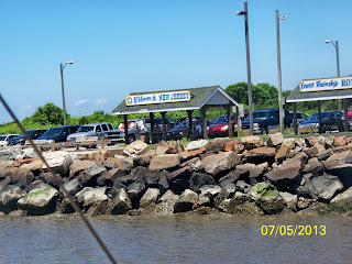
The 53-mile-long stretch from the C & D Canal to Cape May NJ is notorious for building up short, choppy seas quickly and creating rougher weather than local reports may indicate.
Today winds are less than 15 knots.....that is good and from the SW......that's good....... and we are headed down Delaware Bay on high tide.....that is good too....so it is a GO according to the Captain.
We are using point-to-point navigation using the buoy system on the ship channel. And we have picked a safe harbor if an ugly thunderstorm would brew up. I will say Delaware Bay is like crossing Florida's Gulf of Mexico in your mind.....is there another way.....
Nuclear Plant on our port most of the way
Sailboat loves it
He has a long trip down the bay at his speed
This is as close as we get
Bell sounding
Ship John Shoal Horn
We find 3 trawlers out on Delaware Bay....like us running south
Elbow of Cross Ledge Horn
He is headed north
Miah Maull Shoal
Time for us to change our course and steer 142 degrees toward Cape May Canal....We have 14.7 nm miles to go to the entrance. Weather is good.....wind is good....and the crew is relaxing....we are about there.....and the other trawlers are behind us.....everyone is going to Cape May
The Cape May canal is 3.5-miles long. There is plenty of water in the 100-to-150-foot wide Cape May Canal channel....with a depth of 6 feet.
There are two fixed bridges (55 feet) and a low 4-foot railroad bridge.
The railroad runs tourist trains 7 days a week from 10:00AM until 7:30PM during the summers. You may have a 20 minute wait if one catches you and there are no published schedules. Well...we'll see!
Entrance to Cape May Canal
Lots of people enjoying the water....in the 90s
Welcome to New Jersey
Ferry System from Cape May to Lewes DE
Our first bridge
No Train....open for us
Coming into the harbor...Coast Guard tower
Our turn into the channel for the marina
Fishing Fleet on starboard
South Jersey Marina with floating docks


No comments:
Post a Comment