
Leaving Demopolis

Indian Ghosts

Beautiful Morning
2 miles to the Demopolis Lock and Dam 40 foot drop...no wind...temp 42 degrees and climbing (36 degrees at Grand Rivers KY) We are headed SOUTH
Boot Scootin, Last Resort, Lady KK, Nanseann and Proud Lady all loopers are in the lock waiting for the horn to sound....going down....

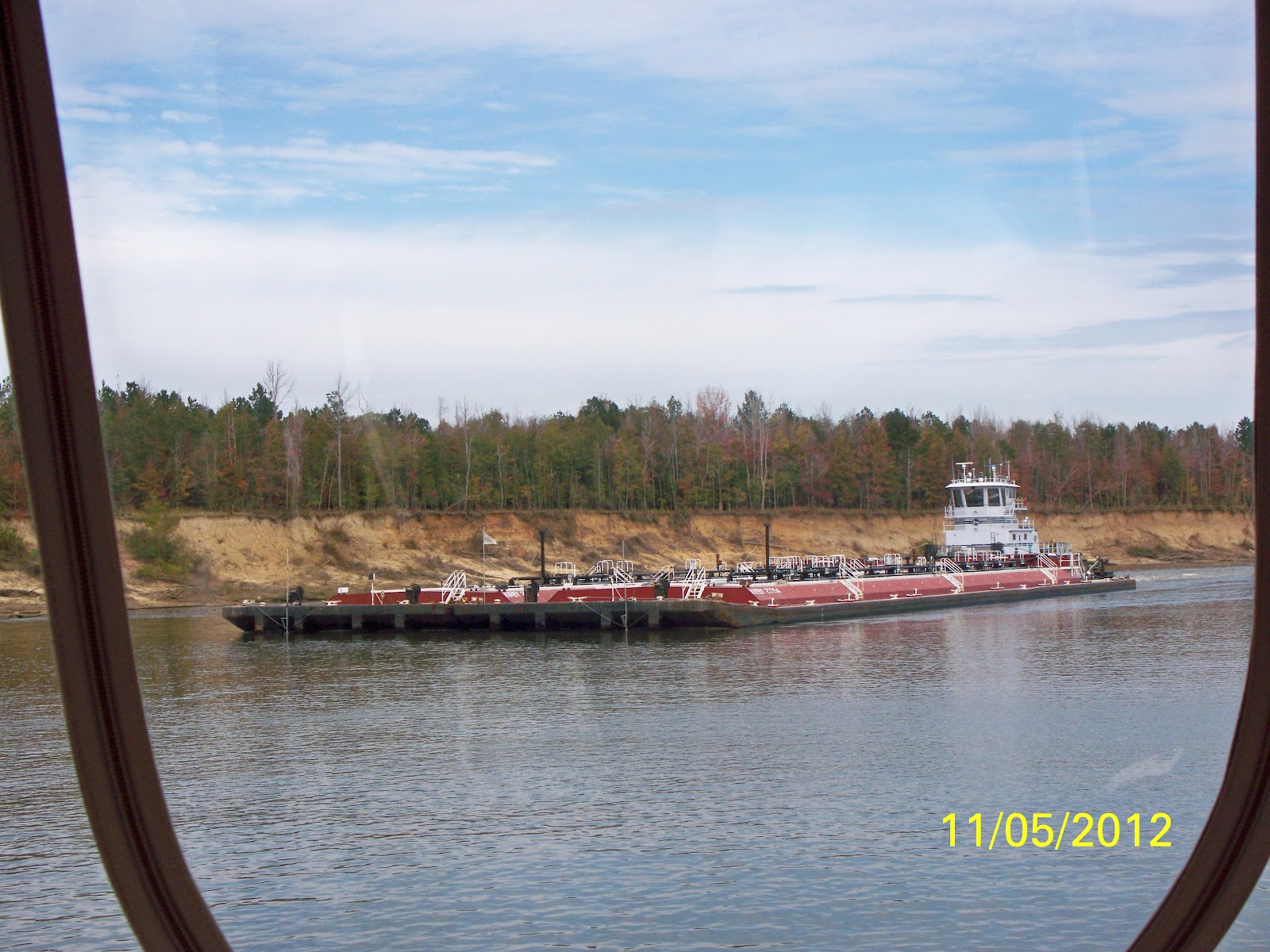
Lady KK from the front

Gates Opening

Back Waters

Interesting fact...On April 19, 1979, the Tombigbee reached the lofty height of 72.4 feet or 59.4 feet above the normal pool level of 13 feet. The small lock control towers at port were almost completely submerged.
The banks of the Waterway are now smooth rock walls, shaped and carved by water. Moss grows on the rocks and hangs from the trees...Yes....we are going south.

Moss not real pretty at this time of year
Mile 201.6 you can see the remains of the old Rooster Bridge which was built during World War I from funds raised at an auction of fowl. Helen Keller sent a little blue hen that sold for $5,000...and in the excitment the hen laid an egg
But the story you may have heard is when the tugboat "Cahaba" was pushed under the Rooster Bridge on April 19, 1979 and popped up on the other side with water pouring out of its pilothouse and the tug still running. Google "Rooster, Cahaba, Tombigbee" on the internet. Pretty amazing.

Old Rooster Bridge
Mile 187.7 The lower end of the Waterway is known for its hairpin turns. Our chartplotter looked like a snake. Maybe we could compare it to the S curves on the Needles Highway in South Dakota. Pass Christian Barge upbound.....well yes....we met him on the hairpin curve at Mile 185.0 and passed on the one whistle. He hugged the reds and we hugged the greens. Quite an experience.

The new Garmin

Pass Christian coming around the bend
Pass Christian
This section made early steamboat captains in demand and to keep them from hiring on to another boat they were paid when they were on the water and when they were not on the water. The river was narrow, shallow and winding and since there was a great increase in current, early captains had to know every bend of the river and nearly every tree along the bank. A captain was in absolute charge of the steamboat from the moment it was underway until it reached the next landing. At that time he would usually disappear ashore until the whistle blew for departure. In the early days a national law proclaimed that a captain must not listen to any suggestions from any person on the boat. Not so on the Nanseann!!!!!
Dorie we are still in Alabama going toward the Gulf. Mark you map.
According to Gerald who has an Alabama road map ..."we are in the middle of nowhere"....
And it is raining.
Mile 156.0 Tuscahoma Landing....This was an important Tombigbee River port, from which loads of cotton were shipped downstream to Mobile. Cotton was taken on at nearlly every one of the more than 300 bluffs and landings along the river. Cotton warehouses were built high above flood level. When the landing was near a bluff, the steamboat came to the bank, where a slideway from the warehouse ran down the cliff. At the bottom there was a heavy gangplank perpendicular to the slideway. A bale pushed from the top of the slide would attain a fantastic speed, and when it hit the plank by the water, it would fly into the air and onto the steamboat deck, where a barricade of bales had been placed to take the full brunt of the blow. Sometimes they missed. OK Jessie, Allie and Dorie that's your history lesson for today.
Lady KK, Last Resort and Boot Scootin are headed for Bobby's Fishcamp. Our anchorage is at mile 145...Bashi Creek. We will need our bow and stern anchors. Green grass for Saddi. Tim, you were right when you said Saddi WOULD be a "Boat Dog". We anchored (good job Rik and Gerald) and Saddi and I went to the green grass....a few turns...a few sniffs...and bingo.
This is a small anchorage....anchor lights on....we can see the towboat traffic tonight (just like camping at Tom Sawyer on the Mississippi)
At dusk Proud Lady dropped her anchor.

Bashi Creek

We can see the Towboats

Ramp
On the water 7 hours and 15 minutes
No comments:
Post a Comment