The Army Corps of Engineers define the Illinois Waterway from Lake Michigan to the Mississippi River, including the Chicago River, Chicago Sanitary and Ship Canal, Calumet River, Little Calumet River and Cal-Sag Channel.

John is rigging his pole....if it touches the top of the bridge he is in trouble

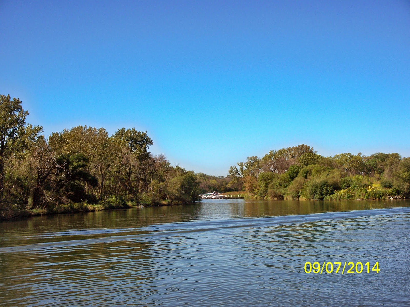
We are off and running the Little Calumet River

Chicago Starboard......city park

Lots of cabins on the waterway
Junction of the Little Calumet River and the Cal-Sag Chanel

Chicago Starboard....another city park

This one didn't make it

Sunday boaters on the waterway.....lets rock the trawlers

Chicago starboard....more city parks

Dale White...Port of St. Louis....1 whistle Captain

Between Marine Services and Mile 303.4 we went under 29 bridges

Turn to starboard and back to downtown Chicago
Turn to port and on down the Chicago Sanitary and Ship Canal and Cal-Sag Channel

Tugboat fueling station

Still see original canal of rock walls

Mile 303.4 to 298.0 is a large towboat and barge parking area. It is very difficult to pass in this area, barges are tied to the shore edges leaving just enough room for an oncoming barge to pass.

You wonder.....why the ladder.....

This area is also called The Twelve Miles of Hell......A narrow channel with oncoming commercial traffic and no place to hide.....Windy City is sideways in the river and we WAIT..... Buster White is waiting on the northbound side and he will tell us if we can proceed or WAIT......

Glad today is Sunday and not a weekday

Windy City has his barges parked

We are told..... "come on down Captain"

Buster White waited on us

The Burlington Northern Santa Fe Railroad is a fixed bridge with a charted vertical clearance of 19.1 feet at normal pool. This is why Satisfaction had a pole mounted on the bow of the boat.....if he touches we go back and take down his KVH Trac Vision....if he doesn't touch we go on....HE MADE IT!!!!!!

Fire Department plowing through the channel....going to be bumpy

Lemont Trader heading northbound

To prevent the invasive Asian Carp from entering Lake Michigan, the US Army Corp of Engineers increased the voltage of the Electric Fish Dispersal Barrier to 2 volts/inch. Physical contact with the water in this area can result in serious injury or death.

This area is closed to boats on weekday from 7AM to 4PM You can only travel before or after those hours and on the weekend. We didn't have anyone check us through the area on Sunday.
There is no identified safe method to recover a victim from the water while in the electrified zone. If a person falls out of your vessel, the US Coast Guard will not attempt a rescue until the person is 450ft down river of the East Romeo Road Bridge, due to electric hazard for the rescuers.....How about that....Lay down Saddi.....

Mile 296.7 to 296.1 is the electrical barrier

We are still in the Chicago Sanitary and Ship Canal

We join the Des Plaines River and less commercial traffic

Lockport Lock and Dam, second lock, 39 foot drop

We have a 45 minute wait while the Kim M Sattoon comes up
Lockport Lock is the biggest drop we have on the Illinois Waterway. It takes nearly a half-hour to fill the chamber and 15 to 18 minutes to "dump the water". 50 million gallons of water flush through with each locking. Today it took 45 minutes to drop the water and this is the reason the Lock will be closed for 2 days next week. Yesterday, several Looper boats waited over 6 hours to lock through.....

There are four bollards with 7 boats....interesting.....

We raft off of Satisfaction with slow ride down
Historical Note - Southbound, this is the end of the Chicago Sanitary and Ship Canal. This 20 mile long canal was constructed in 1900. The Lockport Lock was a key feature of this canal. This was the first step in producing a navigable waterway from Chicago to the Mississippi. It would be 39 more years before the rest of the Illinois River was tamed with locks to provide a reliable waterway with 9 feet depth from Lockport to the Mississippi River.

Coming into Joliet we have three 16.6 drawbridges to go under

Interesting church

Bridge tender calls ahead for you and they "open"....no waiting.....nice

7 Looper boats coming into town for the night

Harrah's Casino....no dockage

Joliet Visitors Center......across the bridge

Steel Sculptures placed throughout downtown

Joliet Free Dock with 30A outlets for the night

We watch the traffic go by....lots of fenders as the wall is rough

Advisable not to leave your boat at night....lots of inquisitive youngsters

We tie our lines back to the boat....take Saddi's ramp off for the night

Barge traffic all night long
It has been a busy day.....traveled with three Looper boats and found two more at the Lockport Lock and Dam.....and another one at the Free Dock....makes seven for tomorrow.....
Total of 1306 miles this season......
No comments:
Post a Comment